Drew Becker · 11 September 2026
Mapping Erosion Patterns in Sensitive Watershed Corridors: Data From Multi-Year Field Surveys
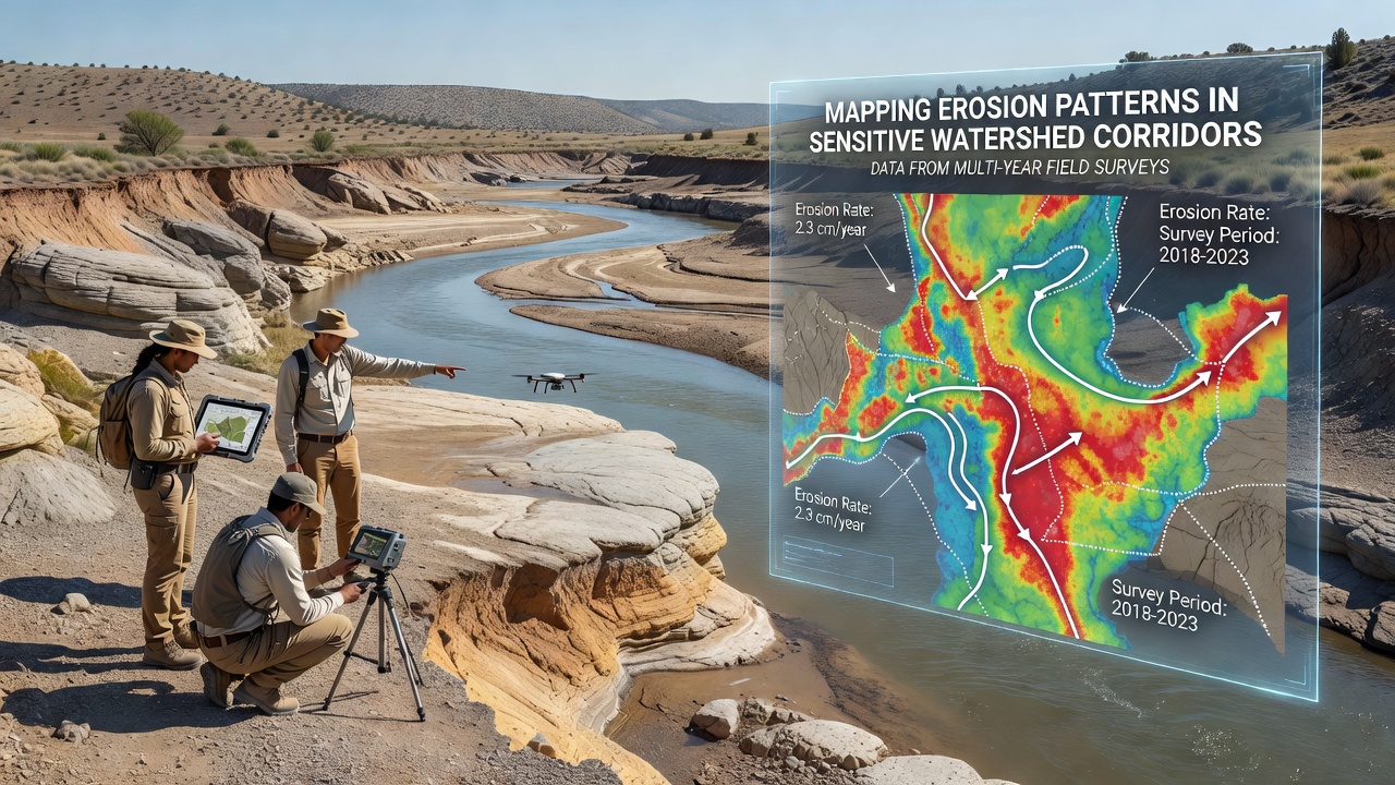
Researchers have conducted systematic field surveys across multiple watershed corridors for several years now, collecting precise measurements of soil displacement, channel morphology changes, and sediment transport rates in areas where water flow interacts with fragile soil structures. These efforts rely on repeated visits to the same transects, using GPS units, erosion pins, and sediment traps to track incremental shifts that accumulate over time.
Survey Methods and Data Collection Protocols
Teams establish permanent monitoring stations at intervals along stream networks, returning at consistent intervals to record bank retreat distances, cross-sectional area alterations, and deposition zones while noting seasonal variations in rainfall intensity and vegetation cover that influence outcomes. Data loggers capture flow velocities during storm events, and soil samples undergo laboratory analysis for particle size distribution and organic content, allowing correlations between physical properties and observed erosion rates.
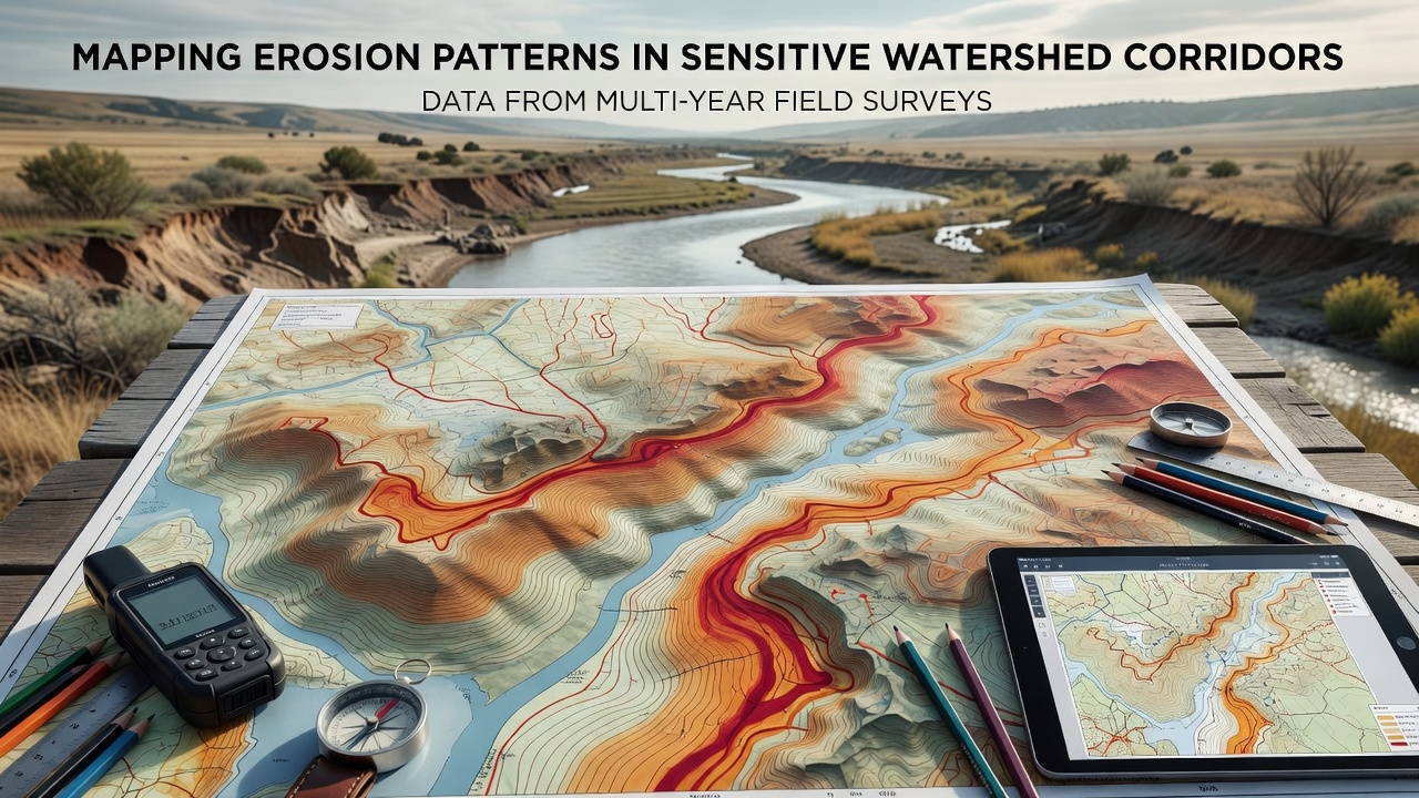
Multi-year datasets reveal that erosion hotspots often cluster near confluences where tributary inputs increase shear stress on main channel banks, whereas wider floodplain sections show slower but steady lateral migration. Surveyors document these patterns through photographic records and topographic mapping that builds three-dimensional models of landscape evolution, and cross-validation with historical aerial imagery helps confirm long-term trends without relying solely on recent observations.
Observed Patterns Across Different Corridors
Evidence from surveys in temperate mountain regions indicates that steep gradients combined with fine-grained soils produce rapid headward incision during high-flow periods, while data from lowland agricultural zones highlight the role of concentrated runoff from field drains in forming rills that expand into gullies over successive seasons. In both settings, vegetation roots provide measurable resistance, yet removal or die-off from drought stress accelerates bank failure rates according to quantified comparisons across sites.
What's notable is how sediment budgets balance out in some corridors, with upstream erosion supplying material that deposits downstream and temporarily stabilizes other reaches, although this equilibrium shifts when land-use changes alter water delivery rates. Researchers tracking these exchanges note that pulse events, such as intense autumn rains, account for disproportionate volumes of annual sediment movement, and multi-year records help distinguish these episodic contributions from baseline creep.
Integration with Broader Environmental Monitoring
Survey findings feed into larger models that predict corridor responses to changing precipitation regimes, and agencies incorporate the empirical measurements when updating management guidelines for riparian buffers and slope stabilization practices. For instance, United States Geological Survey monitoring programs have incorporated similar field protocols to refine national sediment yield estimates, while parallel efforts by the Australian Department of Climate Change, Energy, the Environment and Water document comparable dynamics in eucalyptus-dominated catchments.
As of September 2026, several long-term sites continue to yield updated readings that extend existing time series, revealing subtle accelerations in some corridors linked to cumulative effects of prior drought years followed by above-average precipitation. These additions strengthen statistical power for identifying thresholds where small changes in land cover trigger measurable jumps in erosion activity.
Regional Comparisons and Contributing Factors
Observers note distinct signatures depending on underlying geology, with surveys in volcanic terrains showing higher initial sediment production that tapers as channels armor themselves with coarser material, whereas sedimentary bedrock areas sustain steadier rates tied to joint-controlled bank collapse. Soil moisture data collected alongside erosion measurements demonstrate that antecedent wetness strongly modulates response to individual storms, and multi-year records capture the full range of conditions needed to quantify this interaction reliably.
Case studies from coordinated networks illustrate how upstream land management influences downstream corridor stability, with reduced tillage in source areas correlating to lower peak sediment concentrations at monitoring points several kilometers away. Such linkages emerge clearly only after repeated sampling cycles establish baseline variability and allow detection of trends amid natural fluctuations.
Conclusion
Multi-year field surveys continue to supply the detailed spatial and temporal resolution required for accurate mapping of erosion patterns in sensitive watershed corridors, and the resulting datasets support evidence-based decisions on corridor protection measures. Ongoing collection through 2026 and beyond will further clarify how these systems respond to evolving environmental pressures, providing a factual foundation for tracking changes across diverse geographic settings.