Drew Becker · 9 October 2026
Tracking Changes in Creek Trail Canopy Cover with Drone Surveys and Citizen Photo Submissions
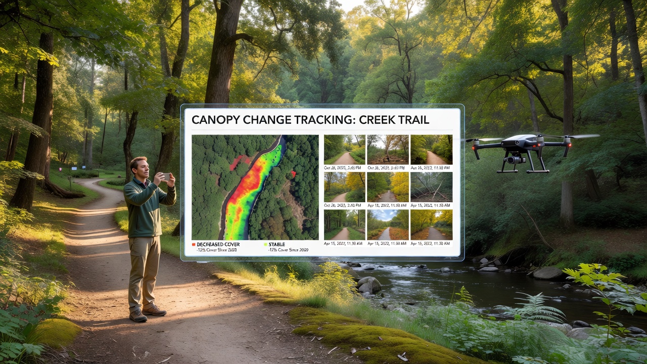
Monitoring canopy cover along creek trails requires consistent data collection over time, and organizations combine drone-based aerial surveys with citizen-submitted photographs to document shifts in vegetation density. This approach generates layered datasets that capture both broad spatial patterns and localized details, allowing researchers to compare conditions across seasons and years without relying solely on one method. Data from these combined sources reveal gradual alterations linked to factors such as seasonal rainfall, invasive species spread, and land management practices.
Drone Survey Methods and Data Collection
Drone surveys operate on scheduled intervals, often quarterly, to produce high-resolution orthomosaic images that quantify canopy percentage through image classification algorithms. Operators program flight paths to maintain consistent altitude and overlap, which ensures that successive datasets align accurately for change detection analysis. Equipment typically includes multispectral cameras that distinguish healthy vegetation from stressed or cleared areas, and software processes the raw imagery into canopy cover metrics reported in square meters per trail segment.
According to the United States Geological Survey, repeated aerial mapping supports watershed assessments by providing quantifiable baselines for vegetation health across linear features like creek corridors. These flights capture data that ground teams alone cannot replicate at the same scale, particularly in areas with limited trail access.
Citizen Photo Submissions and Validation
Volunteer participants upload timestamped photographs from fixed trail points using standardized protocols that specify camera angle, height, and reference markers. Submissions undergo review for quality before integration into central databases, where analysts cross-reference them against drone imagery to confirm small-scale features such as individual tree loss or new growth patches. This citizen input fills temporal gaps between drone flights, delivering frequent observations that highlight rapid events like storm damage or unauthorized clearing.
Programs structure submission forms to collect metadata including GPS coordinates, date, and weather conditions at the time of capture, which improves comparability across contributors. Platforms aggregate these photos into time-series visualizations that overlay with drone-derived maps, creating composite records of canopy evolution along specific creek segments.
Integration of Datasets for Change Analysis
Analysts merge drone and citizen data through geographic information systems that align photo locations with aerial survey grids. Algorithms detect discrepancies between the two sources and flag areas needing additional verification, while statistical models calculate overall canopy change rates expressed as percentage loss or gain per hectare. Results feed into reports that track trends over multi-year periods, supporting decisions on trail maintenance and habitat restoration priorities.
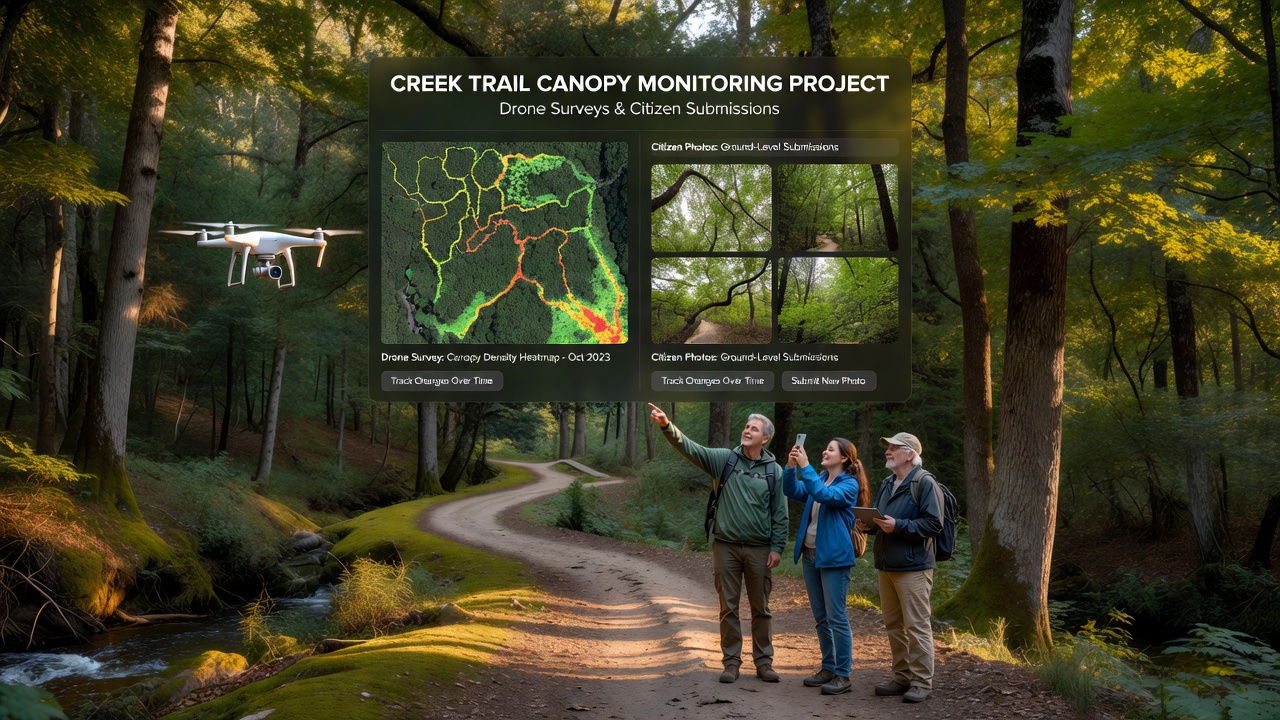
One project in a western valley demonstrated how the hybrid method identified a 12 percent canopy reduction over three years in a previously stable section, prompting targeted planting efforts. Such outcomes emerge because the combined dataset reduces blind spots that single-method approaches often leave unexamined.
October 2026 Monitoring Cycle
In October 2026, participating groups conducted synchronized drone flights and citizen photo drives across multiple creek trail networks to update canopy records ahead of winter precipitation. Preliminary processing showed continued incremental declines in certain upper-reach segments, consistent with patterns observed in prior cycles, while lower sections maintained stable cover percentages. These updates contribute to longitudinal records maintained by regional environmental agencies and feed into broader watershed health indicators.
European Environment Agency documentation on remote sensing applications notes that integrating community observations with aerial surveys strengthens trend reliability across varying terrain types. The October 2026 round followed established calibration procedures to maintain continuity with earlier datasets.
Conclusion
Combined drone surveys and citizen photo submissions produce detailed, multi-scale records of creek trail canopy cover that support ongoing environmental tracking. The method delivers both expansive coverage and frequent ground-level checks, resulting in datasets suitable for long-term comparison and management applications. Continued coordination between aerial operators and volunteer networks sustains the flow of comparable information needed to observe changes as they unfold.